Berwick Postcode and Census Population
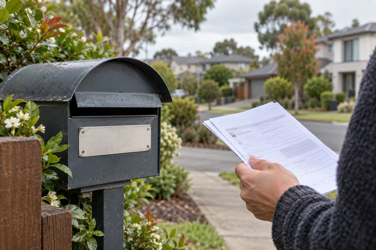
Berwick, Victoria uses the postcode 3806, and the 2021 Australian census counted roughly 50,000 people living in the suburb. Those two facts look simple. They are not measuring the same patch of ground, though. The postcode is an Australia Post delivery area. The census population comes from the Australian Bureau of Statistics, which draws its own boundaries. If you mix them up, your numbers will be off.
This guide covers what each one measures, why they disagree, and how to find the exact figure you need. It also covers what the 2026 count will change.
What area does postcode 3806 actually cover?
Postcode 3806 covers Berwick and its rural neighbour Harkaway, Victoria. Australia Post set it up to sort and deliver mail. It was never designed to count people.
A postal code is a delivery tool. Australia Post draws its lines around mail routes and sorting centres. Suburb names are a separate matter. In Victoria, suburb (locality) names and boundaries are set by the state government. The two often line up closely, but they are separate systems with separate jobs.
Here is how 3806 sits next to the postcodes around it:
- Berwick: 3806
- Harkaway, Victoria: 3806 (shared with Berwick)
- Narre Warren: 3805, to the west
- Beaconsfield, Victoria: 3807, to the east
- Clyde North: 3978, to the south
The shared code with Harkaway is the detail most people miss. Any figure labelled "postcode 3806" includes Harkaway's homes and paddocks as well as Berwick's streets. Harkaway is small and semi-rural, so the gap is modest. It still matters if you need an exact count.
How does the census count Berwick's population?
The census counts people where they usually live on census night, then groups them into ABS geographic areas. Berwick's headline population comes from the ABS "Suburb and Locality" area for Berwick. It does not come from the postcode.
The Census in Australia runs every five years. The 2021 Australian census was held on 10 August 2021. Every household was asked to fill in a form, online or on paper. The ABS then coded each answer to a place and released the results in stages from June 2022.
The ABS publishes results for many kinds of areas. Three matter most for Berwick:
- Suburbs and Localities (SAL): built to match the official suburb boundary as closely as possible. This is the "Berwick" figure most people quote.
- Postal Areas (POA): the ABS's best match to Australia Post postcodes. POA 3806 includes Harkaway.
- Statistical Area Level 2 (SA2): the ABS's own building blocks. Berwick is split into more than one SA2, such as Berwick - North and Berwick - South.
Each of these gives a slightly different population. None of them is wrong. They just count different shapes on the map.
Why a Postal Area is only an estimate of a postcode
The ABS builds Postal Areas out of tiny census blocks called mesh blocks. Each mesh block is assigned to whichever postcode covers most of it. Real postcode lines can cut through a block, so the fit is close but never perfect. The ABS says this itself in its geography notes. Treat a POA figure as a very good estimate of a postcode, not an exact copy.
Why do Berwick population figures disagree?
Figures disagree because they use different boundaries, different dates, or different methods. Once you know which one a source used, the gap usually makes sense.
Here are the common causes:
- Suburb versus postcode. The Berwick SAL figure leaves out Harkaway. The POA 3806 figure includes it.
- Census count versus estimate. The census gives a count on one night. The ABS also publishes yearly Estimated Resident Population figures. Those adjust for people missed on census night and for growth since.
- Old versus new census. Many websites still quote the 2016 count, which was lower. Berwick grew between 2016 and 2021.
- Place of usual residence versus place of enumeration. The ABS can count people where they live or where they were on the night. Most quoted figures use usual residence.
Take a hypothetical example. A real estate site says Berwick has about 47,000 people. A council report says about 50,000. Both could be accurate. The first may be using the 2016 census. The second may be using the 2021 count or a newer estimate. Always check the year and the area type before you compare.
How does Berwick fit into the City of Casey?
Berwick is one of many suburbs inside the City of Casey, one of Victoria's most populous councils. Casey had about 365,000 residents at the 2021 census, and Berwick made up a large share of that.
Local government in Australia is the third level of government, below the federal and state levels. Councils run local roads, parks, waste collection, planning permits and many community services. They lean heavily on census data to plan where those services go.
The City of Casey publishes a community profile that breaks census data down by suburb and small area. This is often the easiest place for a resident to read Berwick's figures. It presents ABS data in plain tables and charts, and it lets you compare Berwick with Narre Warren, Clyde North or Casey as a whole.
Berwick sits roughly 40 km south-east of the Melbourne central business district, along the Princes Highway and the Pakenham rail line. That distance shapes the numbers. Many residents commute toward Melbourne for work, which shows up in census questions on travel to work and place of employment.
How Berwick compares with its neighbours
Berwick is an older, established suburb by Casey standards. The original village grew up along High Street well before the outer-suburban boom. Clyde North, by contrast, is one of the fastest-growing areas in the state, with whole new estates added between censuses. Narre Warren is a large established area with a major shopping centre. Beaconsfield, Victoria sits on the edge of the Cardinia council area to the east.
This history shows up in the data. Established suburbs like Berwick tend to grow slowly and steadily. New-estate suburbs can jump by tens of thousands between counts. If you want to understand growth in this part of Melbourne, compare Berwick's change with Clyde North's change. The contrast tells you far more than either number alone.
What can census data tell you about Berwick residents?
The census tells you much more than a headcount. It covers age, household type, housing, work, travel, country of birth, language and income for each area.
For Berwick, the census QuickStats page shows things like:
- median age and age groups
- share of couple families with children
- home ownership, mortgages and renting
- median weekly rent and mortgage repayments
- how people travel to work
- median weekly household income
These figures help in practical ways. A family comparing suburbs can see the share of households with children. A small business owner can check the age mix before opening a café or tutoring centre. Someone writing a grant application can quote official numbers instead of guesses.
The income figure most people misread
The census reports gross weekly income. That is income before tax. It is not disposable household and per capita income, which is what people have left to spend after tax and other deductions.
This mistake is common. People see Berwick's median household income on QuickStats and treat it as spending power. It overstates what households actually have available. The ABS measures disposable income through other sources, such as its Survey of Income and Housing and the national accounts. Those are mostly published at state or national level, not for single suburbs.
There is a second trap. Household income and per capita income are different. A household figure covers everyone in the home. A per capita figure divides income by each person. Berwick has many family households, so a high household income can sit beside a more modest per person figure. If you compare Berwick with a suburb full of single-person homes, use per person numbers or you will mislead yourself.
How do you look up Berwick's exact census figures?
Go straight to the ABS. Its free tools give you the official number for whichever boundary you need.
- Open ABS Census QuickStats. Search "Berwick" and pick the Suburbs and Localities result for Victoria. This gives the suburb population and a summary of key topics.
- Search "3806" for the postcode view. Pick the Postal Areas result. Compare it with the suburb figure to see Harkaway's effect.
- Check the census year. QuickStats lets you switch between 2021 and earlier censuses. Make sure you quote the right one.
- Use Census TableBuilder for detail. This free ABS tool needs a login. It lets you build custom tables, such as age by household type for Berwick.
- Check the City of Casey community profile. Use it for easy charts and suburb-by-suburb comparisons.
Write down the area type and year next to any figure you save. In practice, that one habit prevents most mix-ups when you return to the number months later.
What will the 2026 census change?
The 2026 census was held in August 2026, and the ABS plans to release its first results from mid-2027. Until then, the 2021 Australian census remains the latest full count for Berwick.
Expect three kinds of change when the new figures arrive. First, the headline population will move. Second, the ABS may adjust its boundaries to reflect new streets and estates, especially in fast-growing parts of Casey. Third, some comparisons with 2021 will need care if boundaries shift.
Berwick itself is largely built out, so dramatic growth is unlikely. The more visible changes will probably be in neighbouring growth areas like Clyde North. If you rely on Berwick data for planning, a lease, a business case or a school decision, mark mid-2027 in your calendar and refresh your numbers then.
Which figure should you use?
Use the figure that matches your purpose. Here is a simple rule set:
- Describing the suburb of Berwick: use the ABS Suburbs and Localities figure from the latest census.
- Mailing, delivery or postcode-based marketing: use the Postal Area 3806 figure, and remember it includes Harkaway.
- Planning or forecasting: use the ABS Estimated Resident Population or the City of Casey forecasts, which account for growth since census night.
- Comparing spending power: do not treat census gross income as disposable income.
For more about life in the area, from cafés to parks, browse the local guides at Berwick Village Notes.
Your next step
Before you quote any Berwick population figure, open ABS QuickStats, search both "Berwick" and "3806", and note the area type and census year beside the number you choose. It takes five minutes and makes your figure accurate and easy to defend.