Walking Tracks at Wilson Botanic Park Berwick
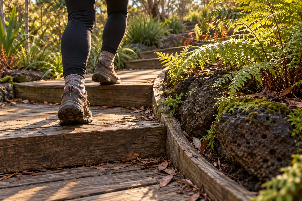
The walking tracks at Wilson Botanic Park Berwick are a network of short, linked paths, so the best walk comes from choosing a route that fits your goal, not from chasing a set distance. The park is not a single long trail with a start and a finish. It is a web of sealed paths, gravel tracks and steeper climbs that wind around old quarry lakes and planted garden beds. You can walk for 20 minutes or two hours, and the same paths can feel easy or hard depending on which links you take.
This guide focuses only on the walking. If you want the wider picture of the park, such as facilities and how to get there, see the general guides on Berwick Village Notes.
Why do the tracks feel so different from one part of the park to another?
The ground itself explains it. Wilson Botanic Park sits on a former quarry in Berwick, Victoria. Rock was dug out of the site for decades. When quarrying ended, the deep pits filled with water and became lakes. The land around them was left with steep faces, sudden drops and raised edges.
The park was then shaped into a botanical garden on top of that broken ground. That is why one path can run flat beside the water, and the next one climbs sharply toward a lookout. The planners worked with the old quarry shape instead of flattening it.
This matters for walkers. A map might show two paths that look the same length. One may be level and sealed. The other may be a short, steep climb on loose gravel. If you plan only by distance, you can end up on a route that does not suit you.
What does that mean on the ground?
- Low paths tend to follow the lake edges and garden beds. These are the gentlest walks.
- High paths rise up the old quarry walls toward views over the water. Expect steps or steady grades.
- Linking paths join the two levels. These short sections are often the steepest part of any walk.
Read the park in layers like this and the whole network becomes easy to understand.
Which route should you pick for a flat, easy walk?
Stay low and keep the lakes in view. The paths near the water and the main garden areas are the easiest walking in the park. They suit prams, young children, older walkers and anyone who wants a gentle stroll.
The trick is to avoid the linking paths that turn uphill. When a track starts to rise away from the water, that is your cue to turn back or take another branch along the flat.
Hypothetical example: picture a parent with a pram and a four-year-old. They enter near the main car park and follow the sealed path toward the lake. They loop past the water, stop to watch the ducks and head back through the garden beds. The whole walk takes about 30 to 40 minutes. They never meet a steep climb because they never left the low paths.
That kind of walk gives you most of what makes the park worth visiting. The water, the reflections and the planted beds all sit at the lower level.
Tips for the low paths
- Sealed paths are the most reliable choice after rain.
- Some gravel sections can be soft or patchy in wet weather, so a pram with bigger wheels handles them better.
- Seats are spread through the park, which makes short rest stops easy.
Where do you go if you want a real workout?
Go up. The climbs from the lake level to the higher ground are short, but they are steep enough to raise your heart rate. Walk them more than once and you have a solid hill session without leaving Berwick.
This is the angle most write-ups miss. People talk about the park as a quiet garden for a gentle stroll. It is that. But the quarry walls also give it real elevation change, which is rare for a garden on the south-east edge of Melbourne. Locals use it for repeat climbs in the same way others use stairs at a sports ground.
Hypothetical example: a runner wants a 45-minute session. They warm up on the flat lake path for ten minutes. Then they walk or jog up a linking path to the higher ground, loop along the top and come back down. They repeat that climb four or five times. They finish with an easy lap of the lake to cool down. The total distance is short, but the climbing makes it hard work.
How to make a hill loop work
- Warm up on the flat before you hit the first climb.
- Pick one linking path and learn it. Repeating a known climb is easier to pace.
- Walk down the steep sections. Loose gravel on a descent is where slips happen.
- Go early or late on busy days. The paths are shared, and a fast walker on a narrow climb needs room to pass.
- Reflections on the quarry lakes on calm days.
- Rock faces left from the quarry, which show the history of the site.
- Plant detail in the garden beds, which change with the seasons.
- Birds around the water and in the native plantings.
- Closing time. The park closes at set hours that change with the season. A long walk started late in the day can leave you rushing back to the gate. Check the hours before you go.
- Wet gravel. After rain, some unsealed sections get slippery, mostly on the slopes. Wear shoes with grip.
- Heat. The higher paths can be exposed on hot days. Carry water and walk early in summer.
- Park rules. Rules on dogs, bikes and other activities are set by the council. Check them before you bring a pet or a bike so you are not turned around at the entrance.
- Easy stroll: stay on the low paths around the lakes and garden beds. Allow 30 to 45 minutes.
- Fitness walk: warm up on the flat, then repeat a climb to the higher ground several times. Allow 45 to 60 minutes.
- Photo walk: arrive early, start at the water, climb for a wide view and finish slowly in the garden beds. Allow one to two hours.
- Learning walk: follow the low paths and stop at each interpretive sign. Allow about an hour, longer with children.
Keep in mind this is a park for everyone. Running is common on the wider paths, but slow down near families and people taking photos.
How do you plan a walk for nature photography?
Plan around light and water, then let the paths follow. The lakes are the best subject in the park. Calm water gives you reflections of the cliffs, trees and sky. The higher paths give you views down onto the water that you cannot get from the edge.
For nature photography, the timing matters more than the route. Early morning often brings still air, which means flat water and clean reflections. Late afternoon gives you warm, low light across the garden beds. Midday light is harsh, and the water can look flat and grey.
Hypothetical example: a photographer arrives soon after the gates open on a still autumn morning. They head straight to the lake edge for reflection shots before any wind picks up. Then they climb to a higher path for a wide view over the water. On the way back down they slow down in the garden beds for close shots of flowers and birds. The walk is short in distance but can easily fill two hours.
What to shoot along the tracks
Stay on the paths while you shoot. Stepping off the track to get closer damages plants and, near the quarry edges, can be unsafe.
How much will you learn from the signs along the way?
More than most visitors expect, if you stop to read them. An interpretive sign at key points along the paths explains parts of the park's story, such as the quarry history and the plants on display. Many walkers pass them at full stride and miss half of what the park offers.
Treat the signs as part of your route. A walk that pauses at each interpretive sign turns a loop of the lakes into a short lesson in how the site changed from a working quarry into a garden. This works well with children. Give them the job of finding the next sign, and the walk becomes a game.
The signs also help you place what you see. A rock wall looks like scenery until a sign tells you it was cut by quarry work. A planting bed looks like a pretty garden until you learn which region the plants come from.
Who looks after the tracks, and why does that matter for walkers?
The City of Casey manages the park. That is useful to know for one practical reason: Casey is where you check current conditions before you go. Opening hours, track closures, works and any changes to park rules are posted by the council.
Tracks in a former quarry need upkeep. Heavy rain can wash out gravel. Trees can drop limbs after storms. Sections can close for repairs. A quick check of the City of Casey website before you leave home can save you from planning a walk around a path that is shut.
Visitors often come from outside Casey too. Wilson Botanic Park is close enough to the Shire of Cardinia that people from Officer, Pakenham and nearby suburbs use it as their local garden walk. If you come from further out in Melbourne, the drive along the Princes Highway or the freeway makes it an easy half-day trip.
What catches walkers out?
The most common mistake is judging a path by how short it looks. A small loop on a map can include a steep link that is hard for a pram, a wheelchair or tired legs. Look at where a path goes, not only how long it is. If it heads away from the water and up a wall, expect a climb.
Other things that trip people up:
How do you put it all together into one good walk?
Choose your goal first, then build the route from the three layers of the park. Here is a simple way to do it.
You can mix these too. A family might do the easy stroll while one adult runs a few hill repeats nearby. A photographer might add one climb for a single view and spend the rest of the time at the water.
For more ideas on spending time around Berwick, Victoria, including places to eat after your walk, browse Berwick Village Notes.
Your next step
Before your next visit, decide what you want from the walk, then pick the path layer that delivers it: low for ease, high for effort, lakes for photos. Check the City of Casey website for opening hours and closures the morning you go. Wear shoes with grip. Start at the water, and only turn uphill when you are ready for the climb.